Geography of East Nusa Tenggara
Located in the east of Lesser Sunda Islands, East Nusa Tenggara faces the Indian Ocean in the south and Flores Sea in the north. The province is bordered by other provinces, West Nusa Tenggara in the west. In the east, the province is bordered by East Timor and southern part of Maluku.
The province consists of about 566 islands, the largest and most dominant are Flores, Sumba, and the western part of Timor. The other is smaller islands include Adonara, Alor, Komodo, Lembata (formerly called Lomblen), Menipo, Raijua, Rincah, Rote Island (the southernmost island in Indonesia), Savu, Semau, and Solor. The highest point in the province is Mount Mutis in the South Central Timor Regency, 2,427 meters above sea level.
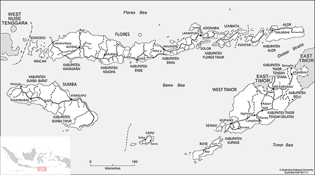
Map of East Nusa Tenggara